23rd February, 2020
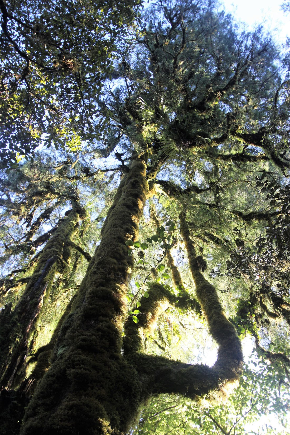
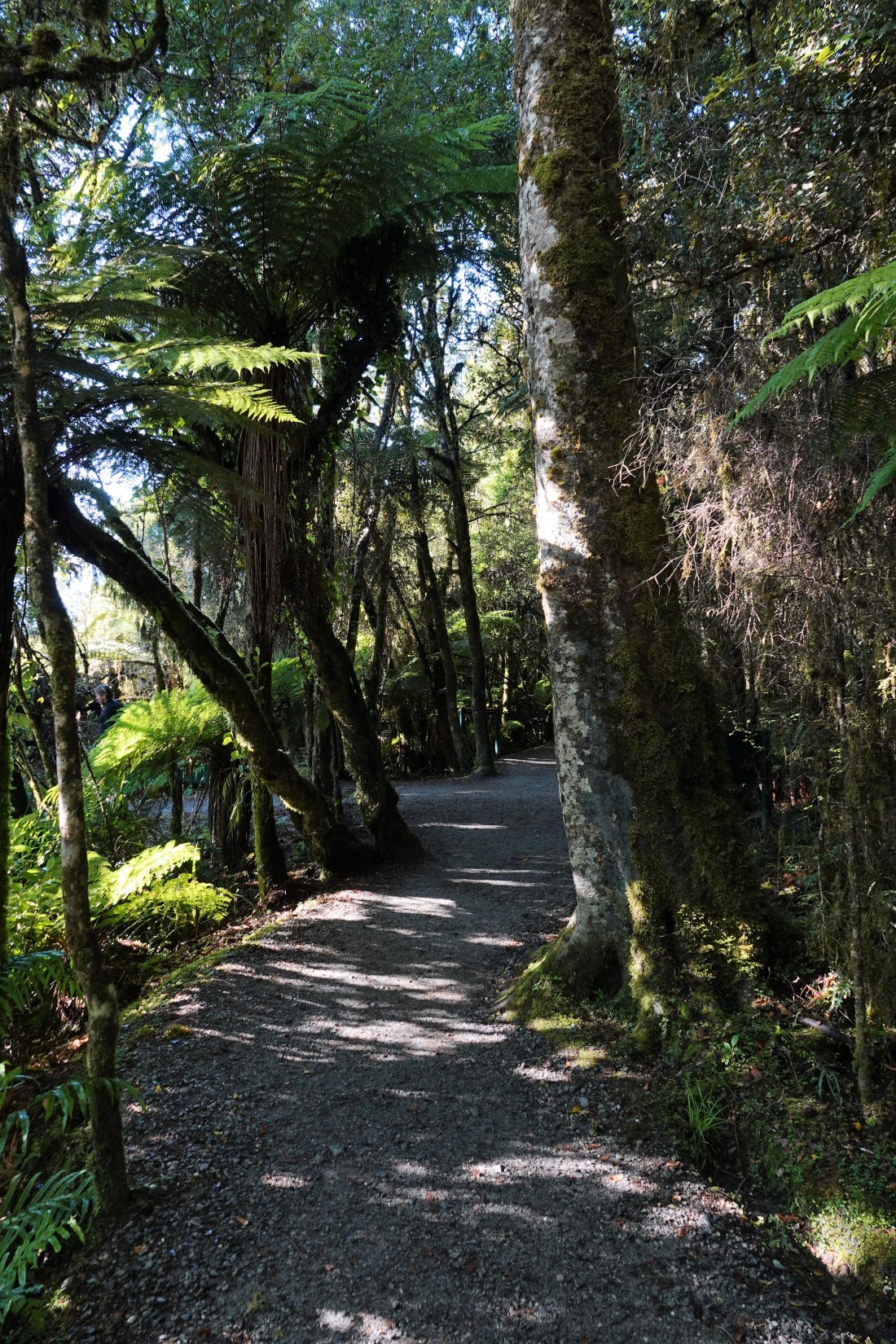
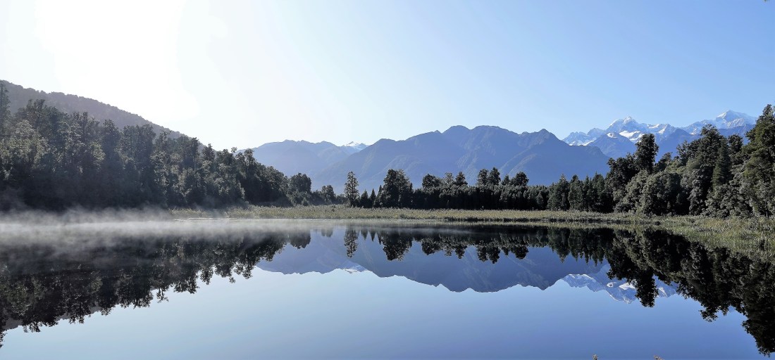
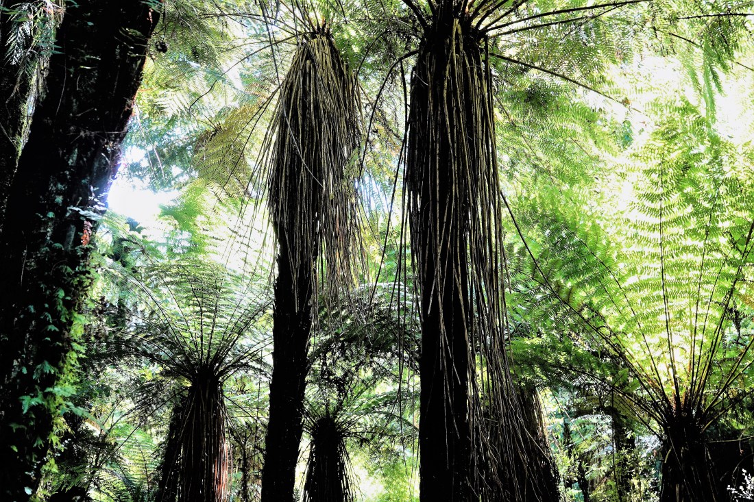
We agreed that we would try the breakfast at the Matheson Café the next morning and, if the weather permitted, walk to Lake Matheson to view the much heralded view. Well, we could not have had it looking better and the camera was clicking overtime. There was the usual wonderful walk along the well-marked path through the woods with the early-morning light streaming through. I have tried to capture the effect, but you really had to be there (thanks, John!).
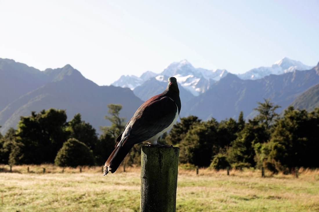
First up, though, was one of the biggest pigeons I think I have ever seen (rivalling King Pigeon, Caroline!).
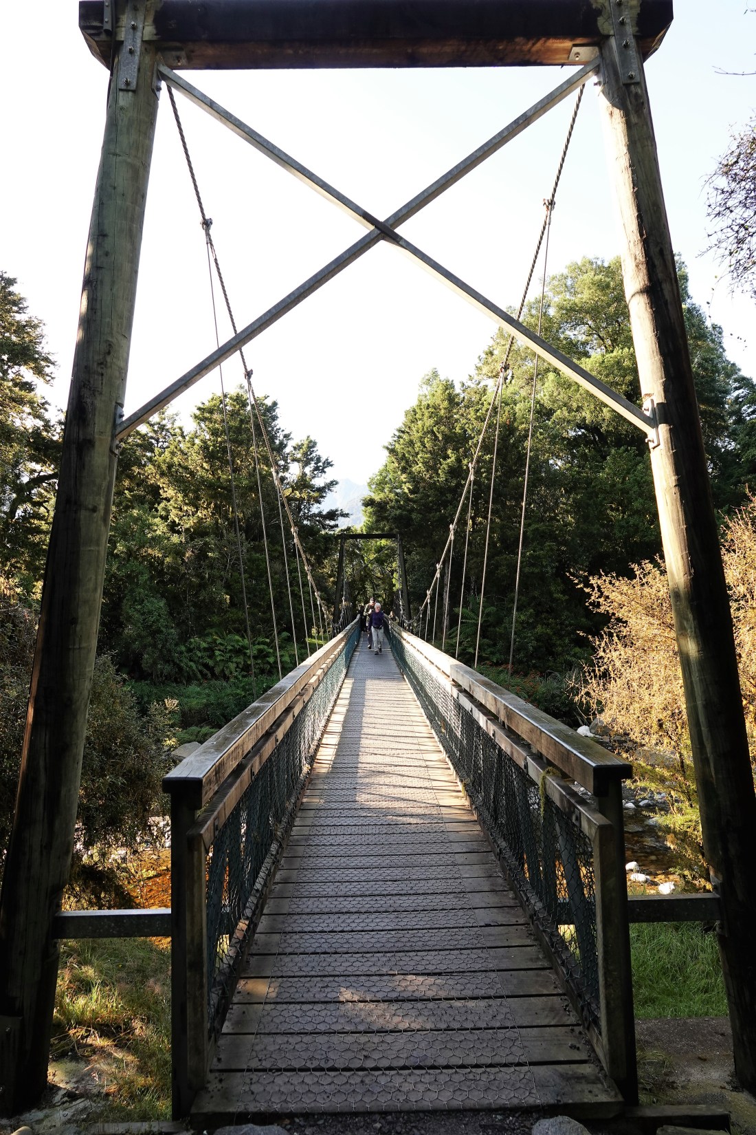
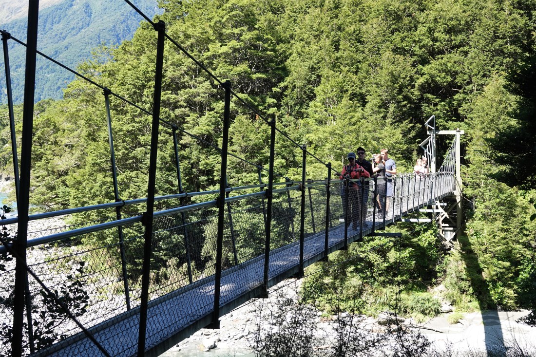
And then it was off through the woods and over the now inevitable bouncy bridge, again with weight restrictions. You started to try to assess the relative weight of our fellow travellers and working out whether they were the types to have full-English breakfast before stepping onto it.
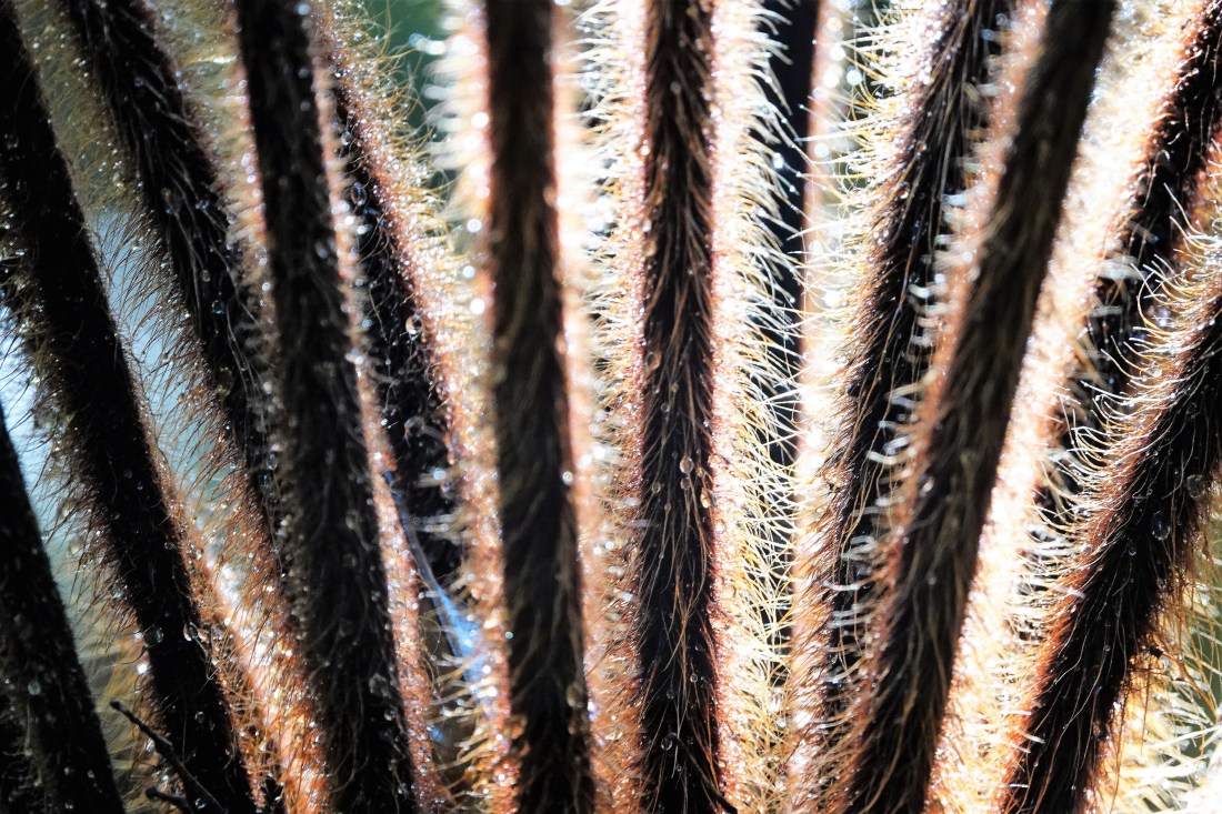
The walk was almost as good as the view itself. If you are a fern/moss fanatic you would be in ecstasy!

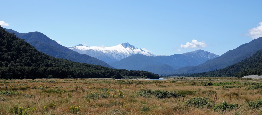
Lake Matheson in itself is not all that amazing in as much as it is not some amazing colour or size or shape, but it is a fantastic place to view the mountains on a clear, still day – and that is just what we had. We even had a bit of atmospheric mist on the lake and a fabulous mirror image of the mountains…
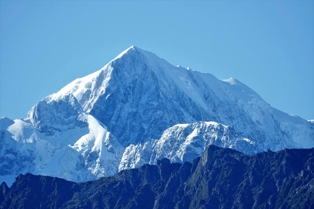
And here, once again, is the mountain we all came to see, you guessed it, Mt Cook!
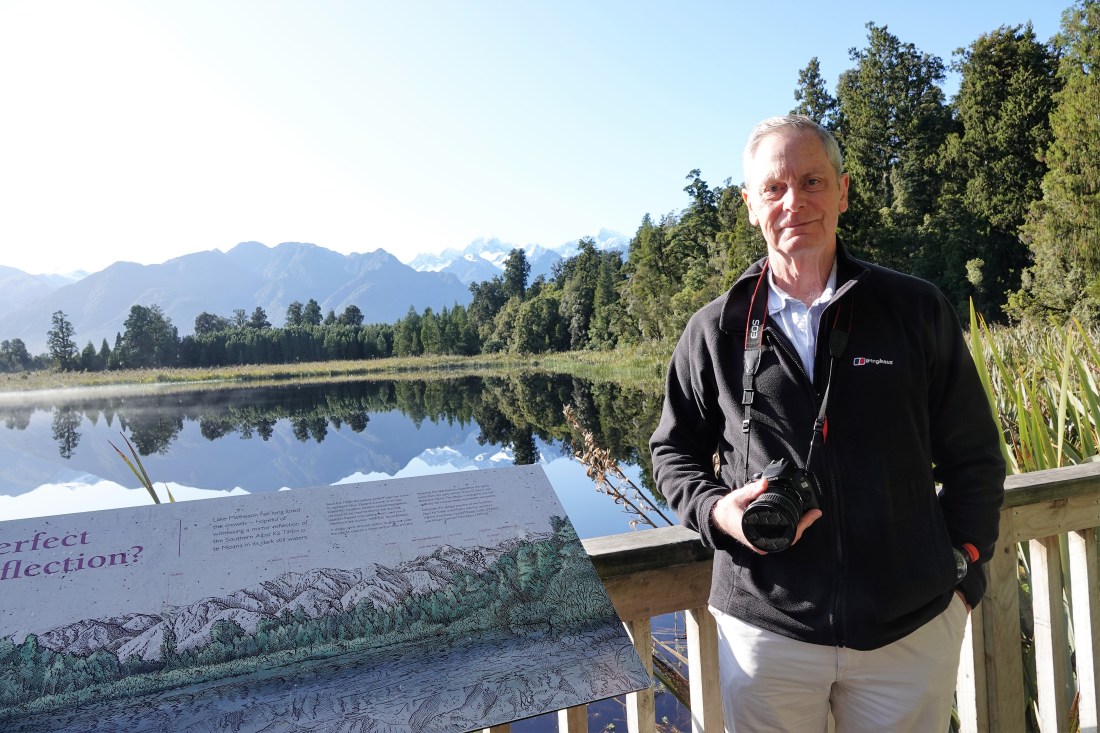
And just to prove I was still on the trip……
It was a welcome relief and joy after our rainy introduction to the South Island and we set off in a happy mood after our excellent breakfast and morning constitutional along State Highway 6 heading for Haast where the road heads inland. All the roads in NZ seem to number every bridge and culvert and we counted up to around 12,000 on SH6 before we left it and it still had all the area to the south of the South Island to go. I can only imagine someone has a map somewhere with them all marked…
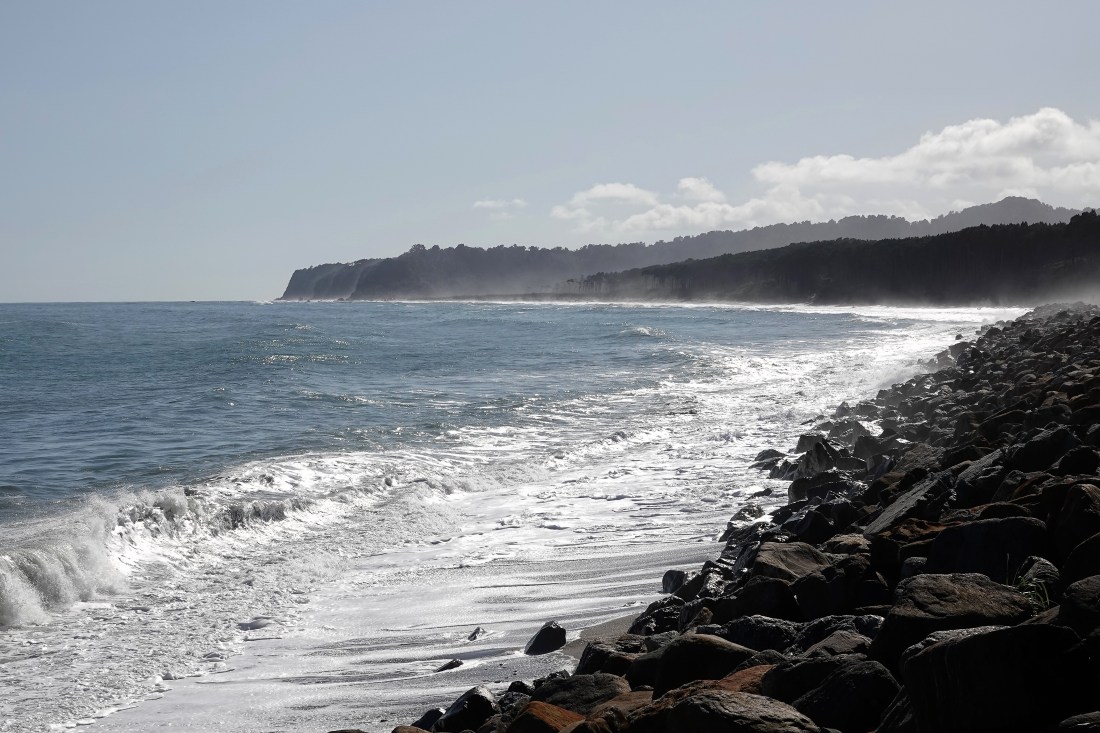
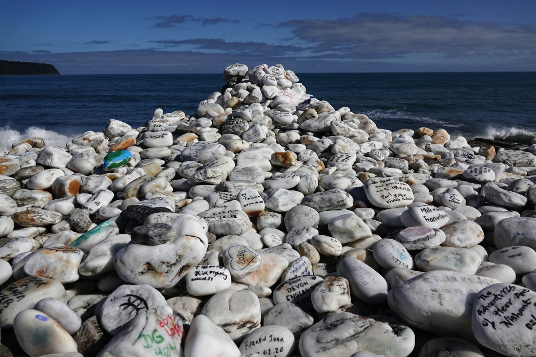
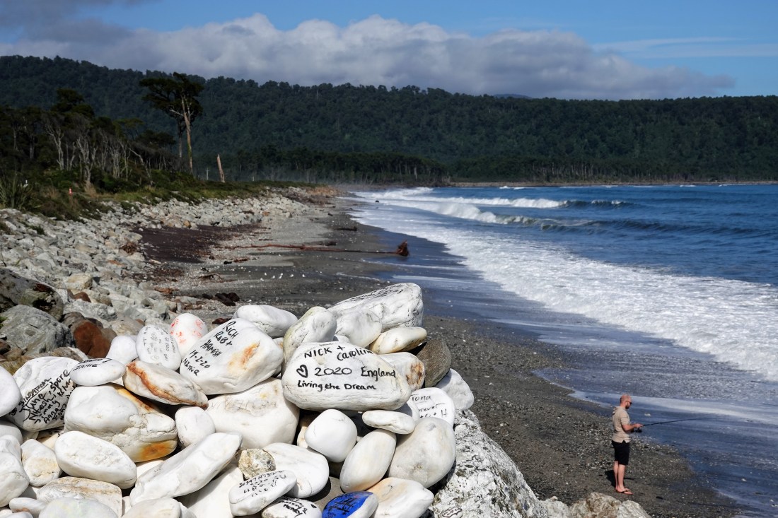
We stopped briefly for a break at Bruce Bay Beach where there was a nice pile of stones with the usual messages on them, though one, as you will see had Val and me wondering what Caroline and Nick had been doing recently.
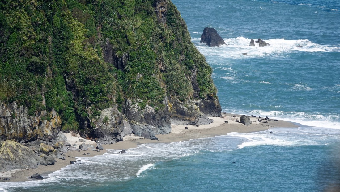
We also stopped at Knight’s Point Lookout. According to Wikipedia, ‘The 1950s were a time of infrastructure development in New Zealand. A related project was the building by the Ministry of Works of a road from the South Island’s east coast, across Haast Pass and up the west coast to join the road that terminated at Ross.
Progress was made by pushing the road across the Haast Pass to near the mouth of the Haast River where a bridge was constructed to take the road north along the coast. A second crew began construction south of Ross and progressed south.
The two teams met north of Haast, on the coast. As the time for the official opening of the road drew near, officials from the Ministry of Works journeyed to the meeting point to make arrangements for a commemorative monument by the roadside. In the course of conversation with the construction crew, it was mentioned that the location should be named after a senior official of the Ministry of Works employed in the head office in Wellington, the national capital.
The construction crew informed the delegation from Wellington that the area had already been named Knight’s Point. The officials inquired who “Knight” was and were informed that he was the surveyor’s dog. Knight’s Point was named after Norman McGeorge’s dog Knight.’
Anyway, it was an excellent view including seeing some seals resting in the distance.
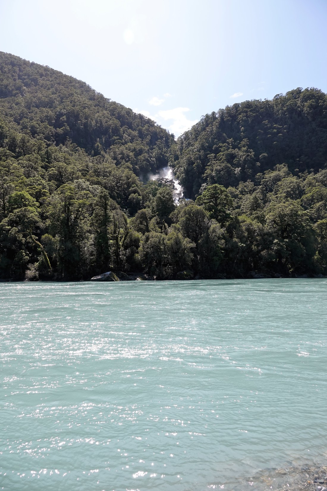
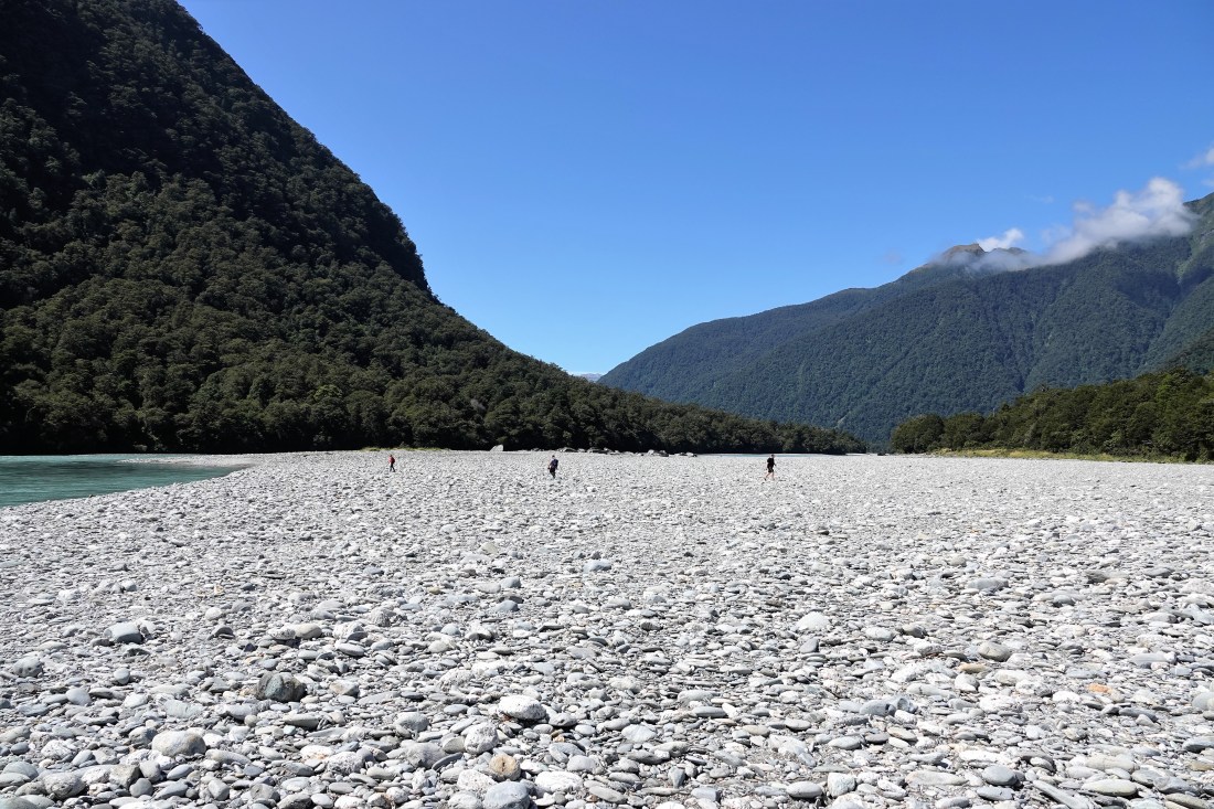
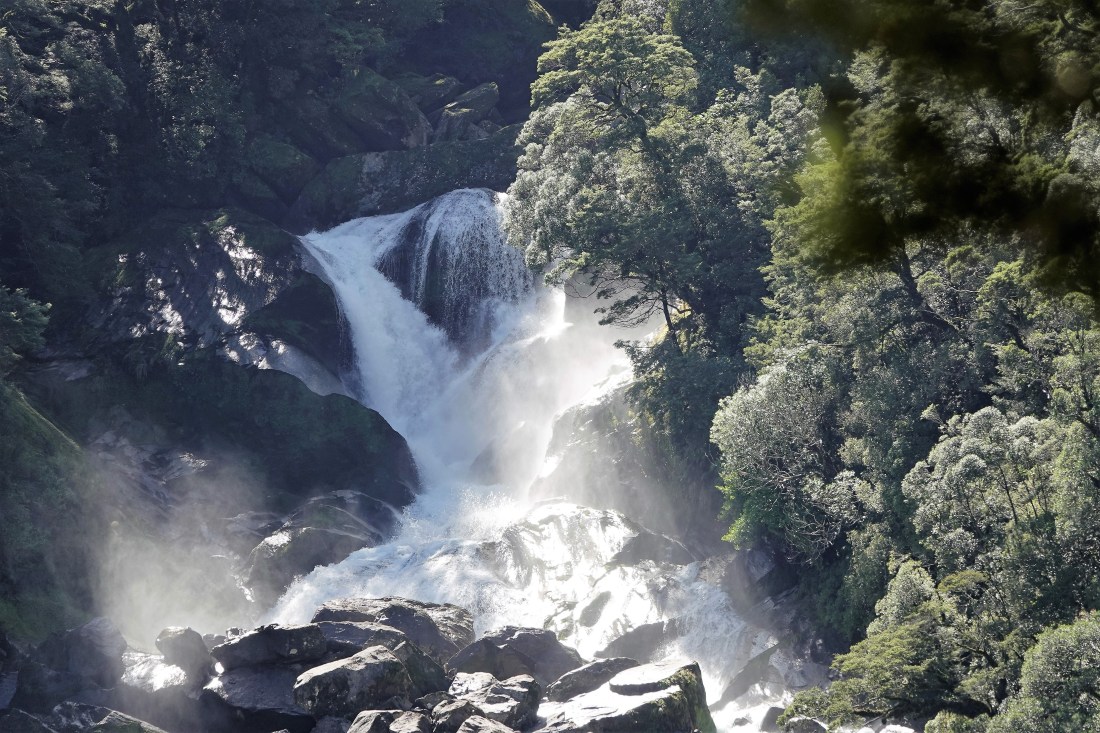
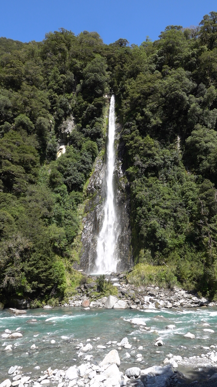
We carried on, driving through the very small town of Haast and then heading inland following the course of the Haast River. Another stop was afforded at the Roaring Billy Falls, again with the added bonus of a lovely walk through the woods. Just the one photo this time (but do get in touch if you want some more – we could make a weekend of it!).
Roaring Billy did not disappoint as you can see from the photos. We had to cross the huge river bed to get close and it certainly makes you appreciate the size of the rivers when in full flood (remembering that we are in NZ in what would be the second half of July in the Northern hemisphere and therefore pretty dry). I managed to get to see the falls twice having dropped my sunglasses by the river’s edge, a fact we only appreciated when we were almost back at the car park.
Two more stops – one at a lookout overlooking the Haast River and one at Thunder Creek Falls…
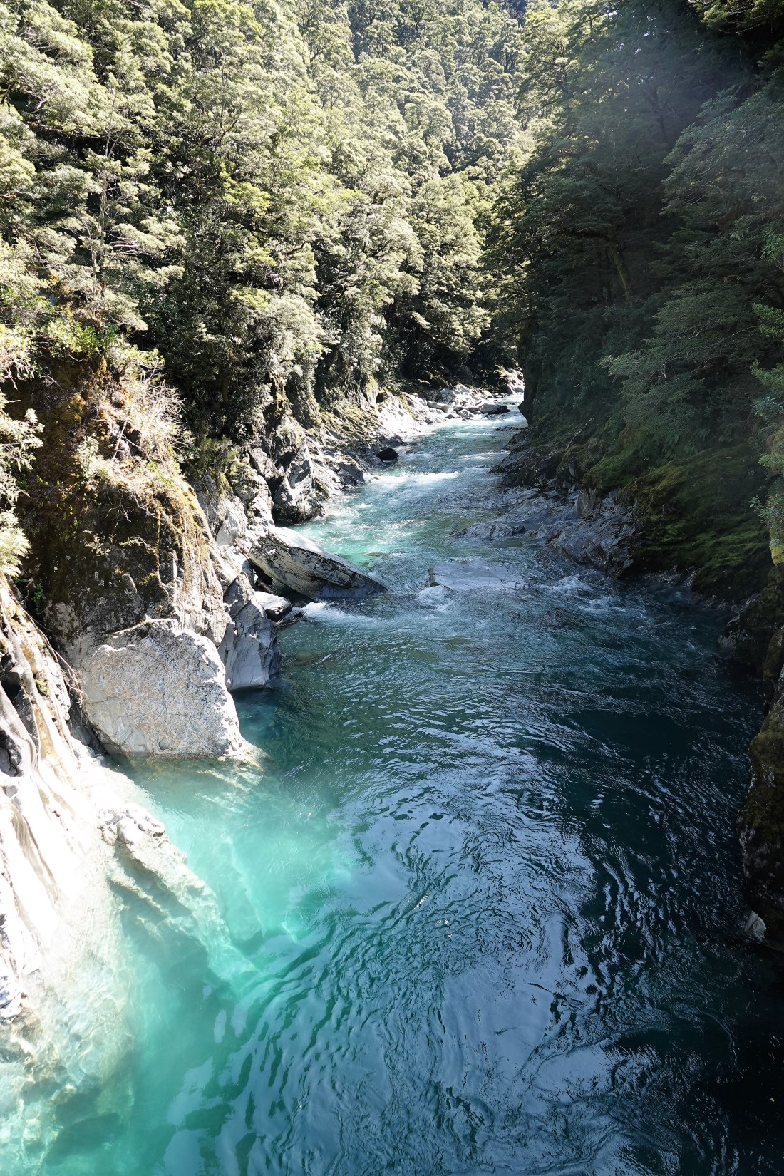
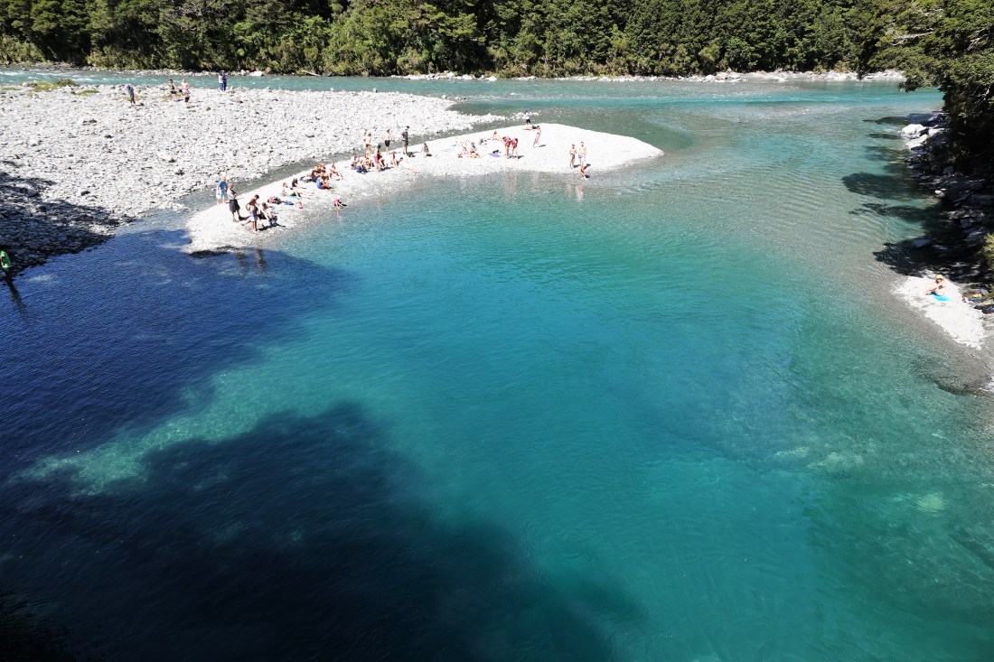
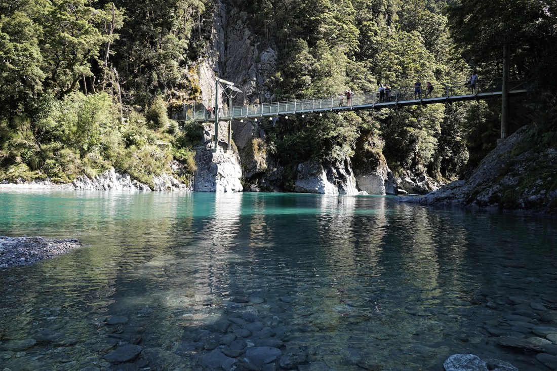
By this time we had probably seen enough falls, so Diana Falls and the Fantail Falls were given a miss and we drove on towards Lake Wanaka. We did have one official stop, at the Blue Pools, where we trusted that they would live up to their name. Once again we trekked through the woods, over another bouncy bridge to the main attraction, where there was another bouncy bridge, the Blue Pools – and they really were blue! Well, greeny-blue at least.
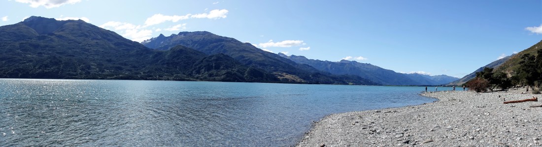
It had already been a pretty full day so we decided we really did need to get on to Wanaka, which was still another hour’s drive away. However, there are soooo many sights to see en route – lakes and mountains mostly, but every corner seemed to produce another breath-taking view. First up we drove down beside the Makarora River to the top end of Lake Wanaka, which, by-the-by, is NZ’s fourth largest lake.
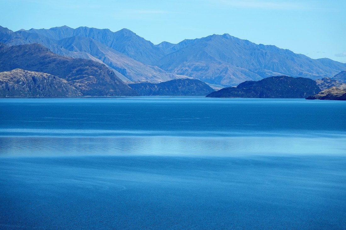
We drove down the Eastern side of the lake until we reached The Neck and then drove down next to Lake Hawea which runs parallel to Wanaka to the east and is also absolutely stunning. We had to limit ourselves to only a few lookouts and photo stops as we would probably be there still otherwise. The photos go some way to giving you the majesty of the area, but unfortunately the mountains do get a bit squashed and are much taller than they look in the pictures.


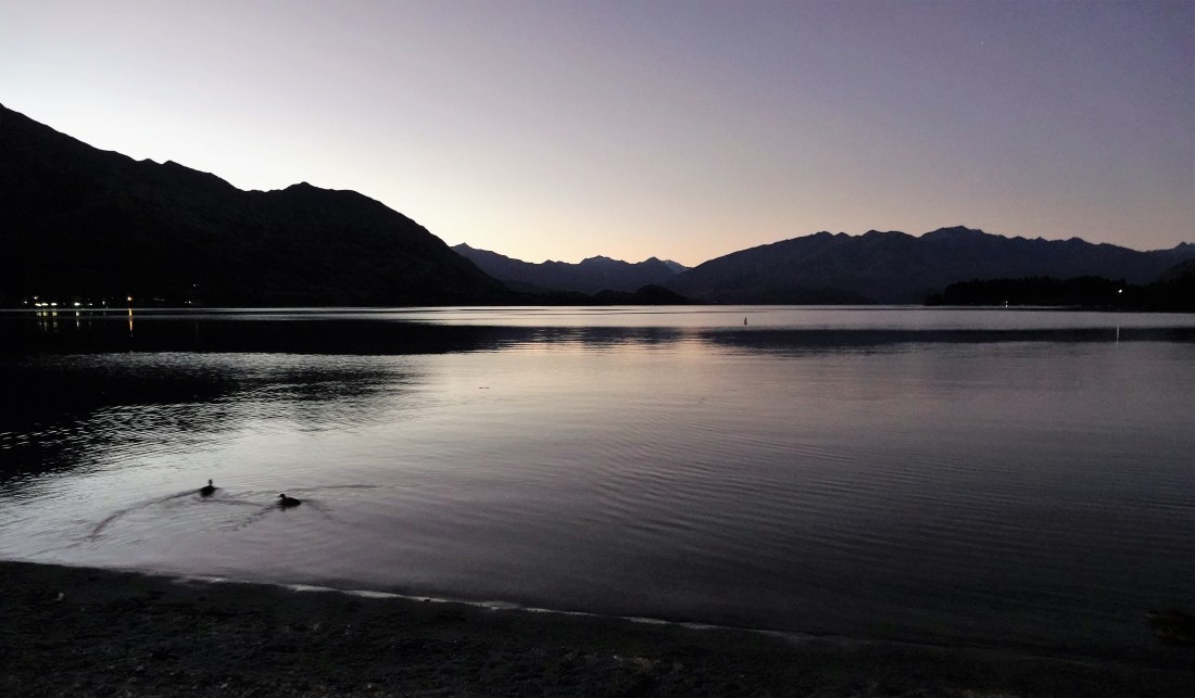
We finally made it in to Wanaka and booked into another perfectly nice motel and went for an explore of the lake and the small town of about 9,000 (and growing) permanent residents (and many thousand more visitors), which serves primarily as a resort town both summer and winter. It had a really nice feel to it and was nothing like as busy as Queenstown, which has a population of closer to 16,000 and even more tourists.

We found a nice place for an excellent Italian meal, wandered along the lakeshore in the twilight and slept well after a wonderful day.
More soon!

Fabulous! Loved the woods and ferns to Lake Matheson. Great to see you are also on the trip john- and a good photo of you too, as a bonus! Roaring Billy Falls certainly doesn’t disappoint – the close up was amazing. It really is impressive when you put your sunglasses on John! Love Lake Hawea too. The colour of the water everywhere is amazing – is the turquoise water as cold as it looks? It looks glacial! Never mind – we have (some) sunshine today here too! L xx
LikeLike